Unlocking the value of wetlands with data


The UK needs big, ambitious solutions to address our climate, nature, and mental health crises. This includes re-evaluating the contribution of the UK’s natural infrastructure – especially those most underappreciated of ecosystems: wetlands.
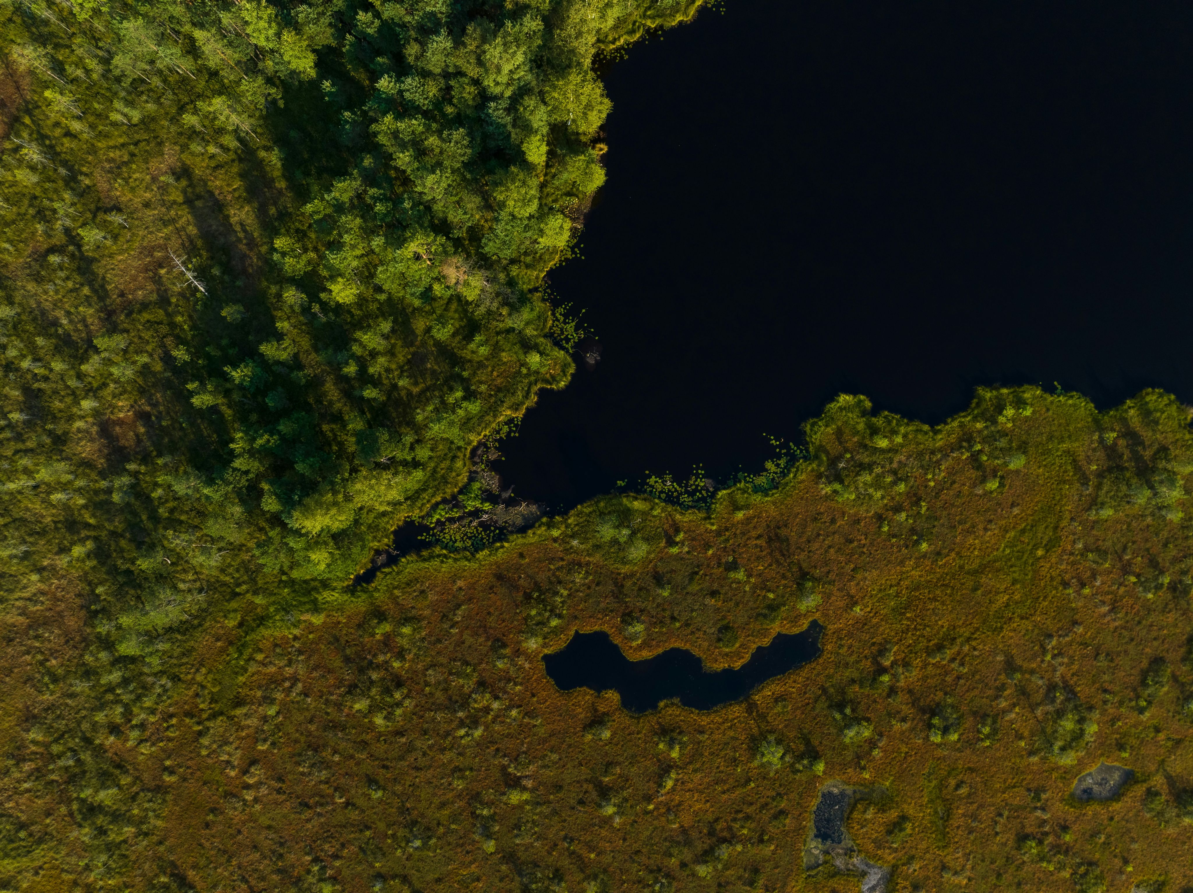
Wetlands represent a diverse range of habitats, from reedbeds to wet woodlands, estuaries to ponds. All deliver ecological, social, and economic benefits including:
- Rapid response to the climate crisis: saltmarsh stores carbon 40 times faster than forests.
- Flood prevention: wetlands provide crucial natural flood management, building the UK’s overall flood resilience.
- Improved water quality: removing toxins from our water, wetlands reduce the negative impact of raw sewage being dumped in our waterways.
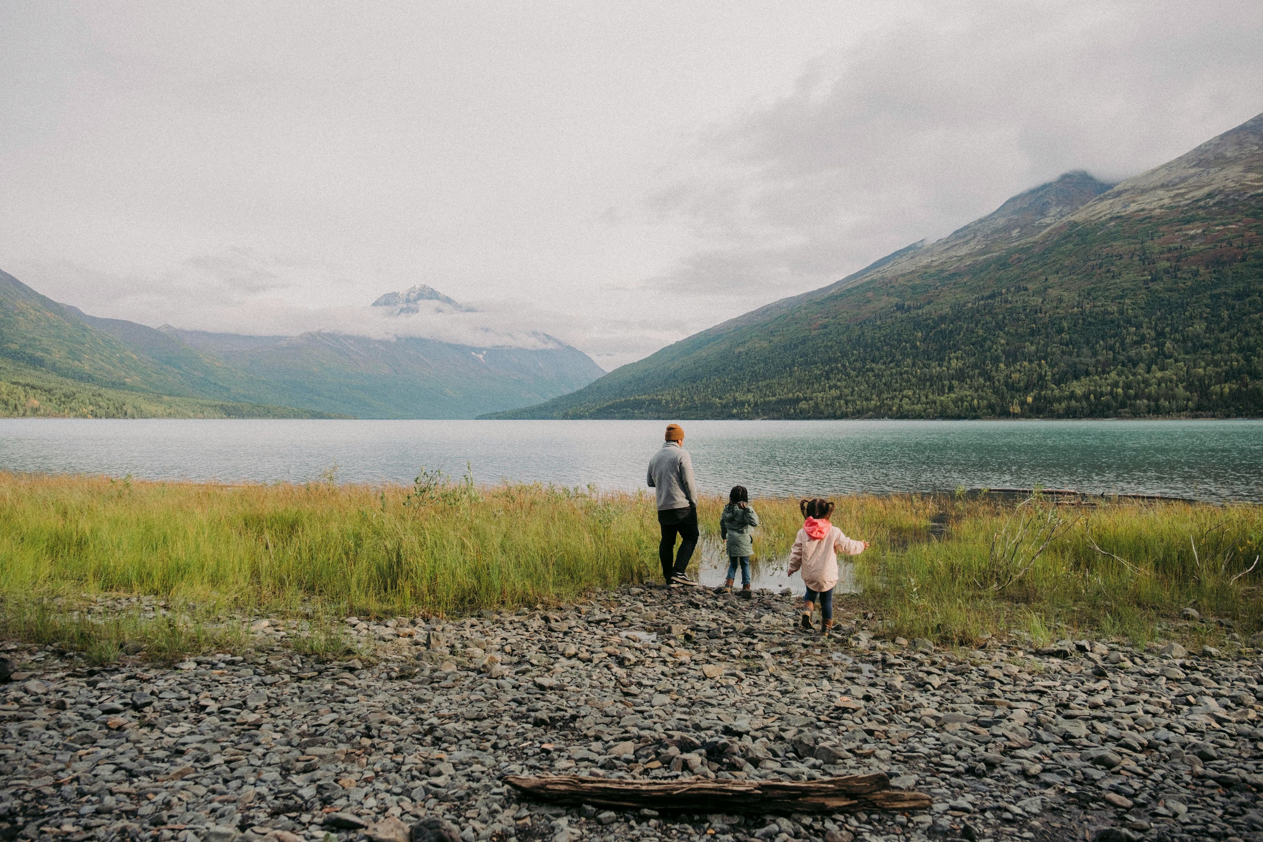
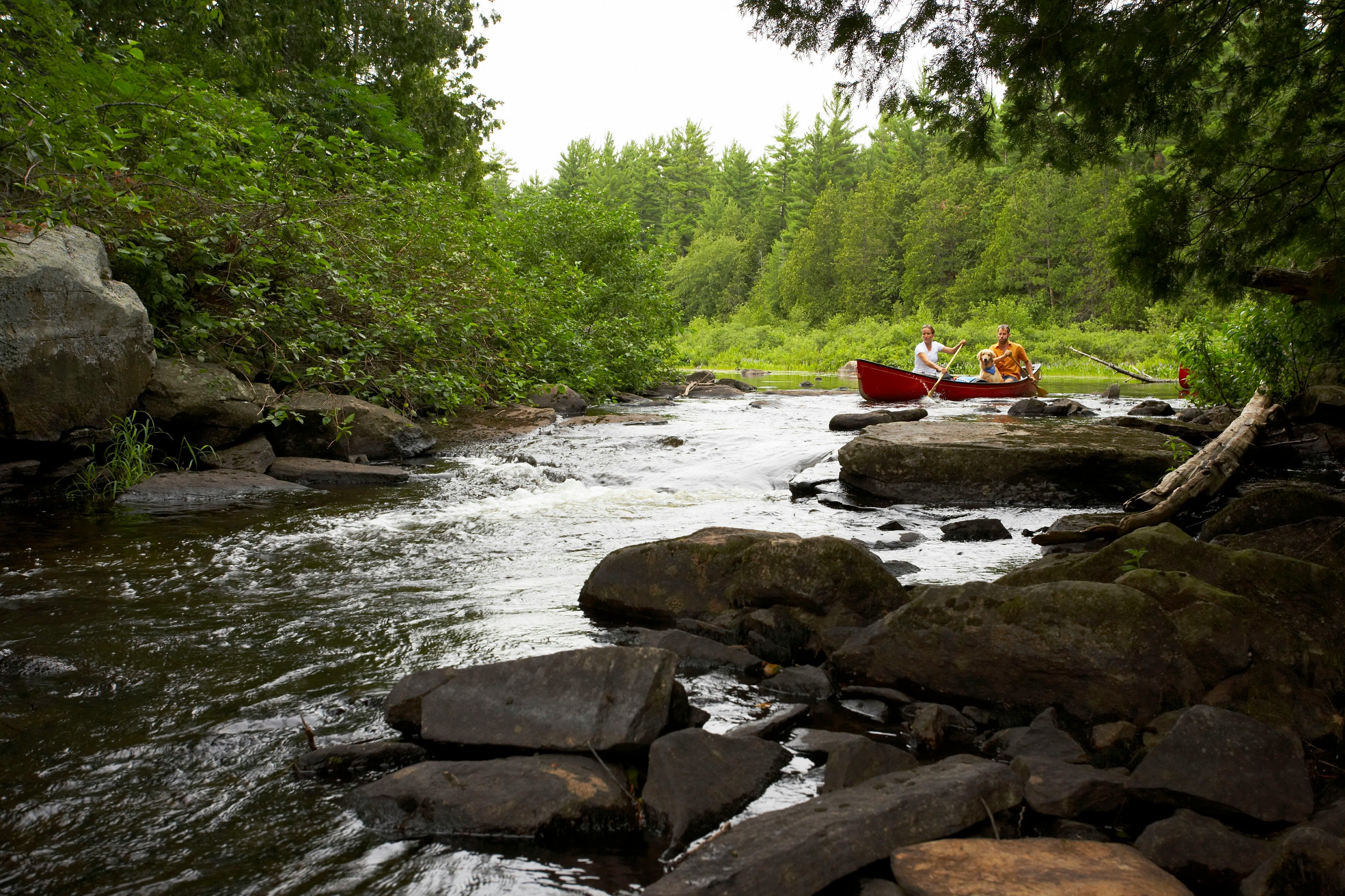
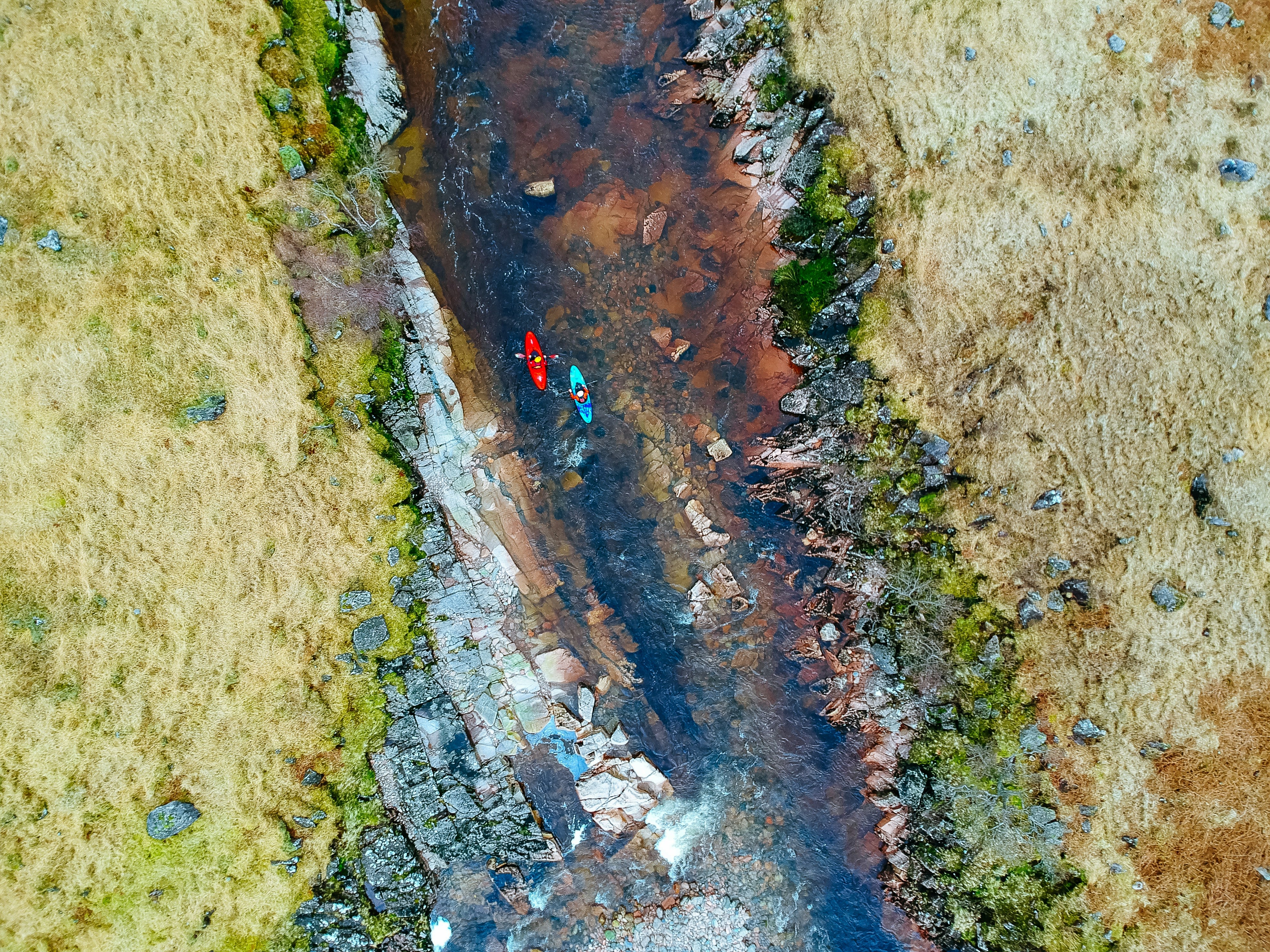
- Boosting health and wellbeing: blue spaces offer relief from our crowded, overheating towns and cities, and support healthy communities.
- Biodiversity hotspots: covering just 3% of the UK, wetlands support 10% of its species.
- Resilient economies: wetlands offer new opportunities for employment, income and investment. They contain vital stocks of natural capital and provide invaluable ecosystem services.
Creating or restoring wetlands delivers more value per unit area than any other nature-based solution – up to £9 of benefit per £1 spent. But over 75% of the UK’s wetlands have been destroyed in the last 300 years. And due to unsustainable development, pollution and the worsening impacts of climate change, this undervalued natural infrastructure is still being neglected.

Getting ambitious about wetlands
We’re calling for 100,000 hectares of wetland creation or restoration by 2050. Wetlands are carbon-sinking, water-purifying, flood-busting, nature-reviving, mood-lifting ecosystems. They’re critical for resilient communities and a thriving economy. And the time to put wetlands firmly on the agenda is now.
But if the UK is to take an evidence-based approach to restoring wetlands, we must answer three questions:
- Which areas of the UK are suitable for large-scale wetland creation and restoration?
- Where are these wetlands best placed to deliver key ecological and societal benefits?
- What are the economic benefits of wetland creation at this scale?
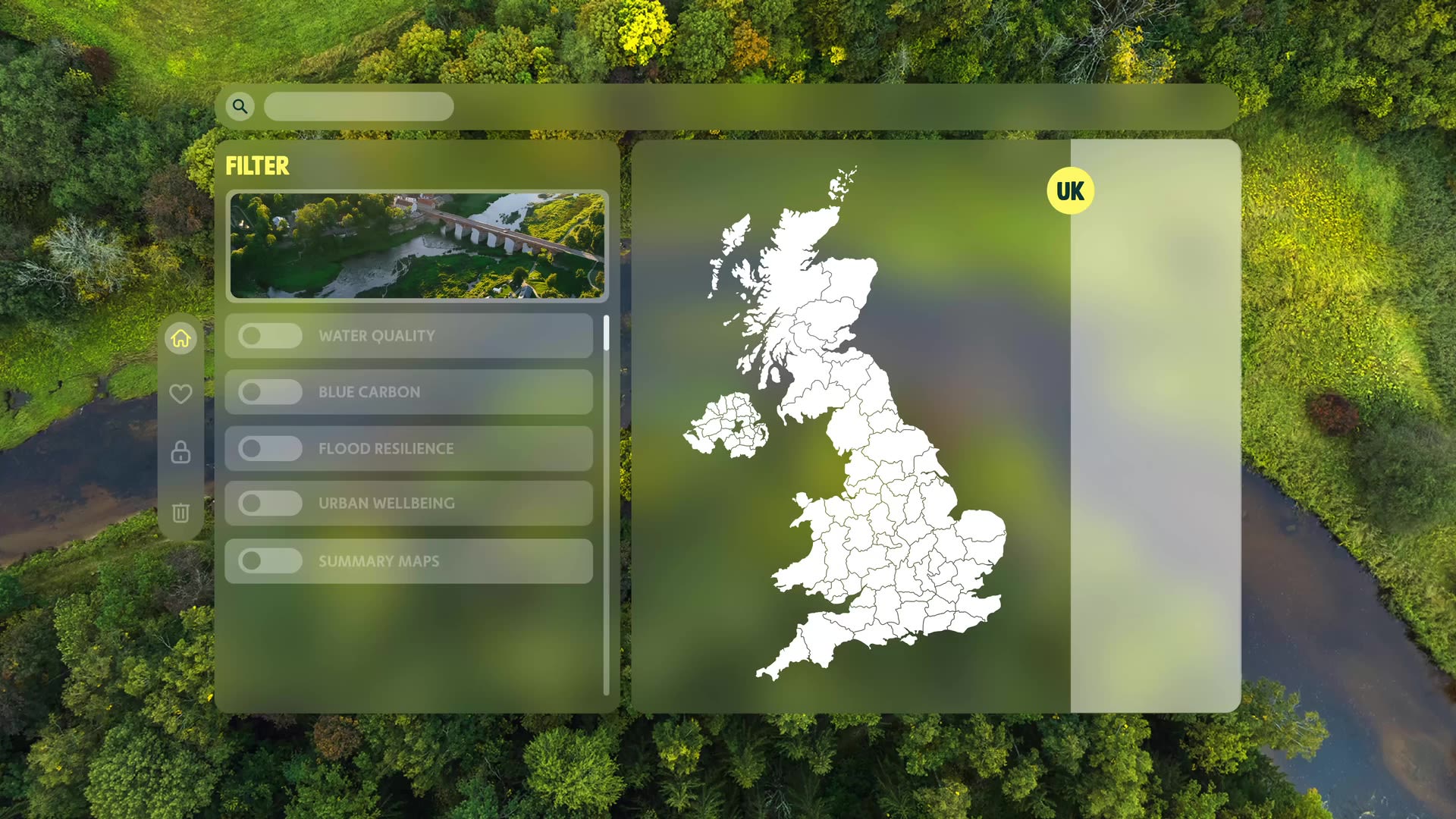
To address these questions, WWT has brought together UK-wide data to create interactive Wetland Potential Maps and analysed the economic value of wetland creation. Together, they spell out the huge landscape-scale potential these essential habitats can deliver to every area of the UK.


Bringing wetland data to life
Designed to be indicative, rather than instructive, our interactive maps allow users to:
- Visualise at landscape-scale the UK-wide opportunities for simultaneously addressing various ecological, social and climate-related challenges through wetland creation and restoration.
- Quantify the benefits to society of targeted, large-scale wetland restoration.
- Provide resources that support strategic planning, partnership-building, delivery and engagement.


The tangible value of wetlands
Our maps show that the UK has ample space for wetlands without compromising valuable land uses – 100,000 hectares is the equivalent of just 0.6% of the UK’s farmland. Meanwhile, our economic analysis demonstrates that, through a combination of flood resilience, improved water quality, carbon storage and enhancing people’s wellbeing, the creation and restoration of 100,000 hectares of wetlands can contribute at least £8 billion of economic benefits to the UK over a 60-year period from 2024 (after deducting creation and maintenance costs).

To deliver 100,000 hectares of wetlands, we need to combine project delivery with capacity building and community engagement. We’ll need to work in partnership at scale, across government, business and wider society.

How do I access the maps?
To make it easy for people to dig into the maps and the opportunities that they show, we’ve developed the Wetland Data Explorer app. In collaboration with The Rivers Trust, we’ve layered our maps with a range of other publicly available data layers that can be used to explore opportunities for wetland creation at landscape scale.
Users can also upload their own datasets (boundary data for example), making it even easier to explore the layers in the context of their own interest areas.
Who are the maps for?
These maps have been created for users to explore the potential for wetlands to help reduce flooding, improve water quality, enhance urban wellbeing or store carbon. This could be business leaders, major landowners, local nature partnerships, catchment partnerships and local authorities.
The maps can be used to:
- Identify areas of the UK where wetland restoration could deliver real impact for people and communities
- Explore where wetlands offer maximum value through multiple benefits
- Enable discussions with partners interested in increasing natural capital benefits through large-scale wetland creation
- Demonstrate the scale of the potential to policy makers and the wider public, to generate action and advocate for wetland conservation
What should I bear in mind when looking at the maps?
The maps should be used for looking at the strategic potential for wetland solutions over a broad area – both nationally and regionally – and as part of initial scoping for potential areas of focus. They’re already being used to inform a number of local nature recovery strategies in England.
“WWT’s impressive datasets were incorporated perfectly within the analysis we designed to pinpoint optimum locations for nature recovery across Essex. In particular, we were able to build our ‘freshwater standing water’ habitat-specific analysis around the WWT wetland potential data sets, significantly improving the quality of our results, which ultimately fed into the overall ‘areas that could become of particular importance’ for biodiversity element of the ‘Greater Essex Local Nature Recovery Strategy (LNRS).’" – Matt Nokes, Ground Control
The maps don’t replace the need for detailed site selection processes and local feasibility assessments – they're not based on detailed local data, so are not suitable for viewing at a local scale (for example, at individual farm or field).
We’re not suggesting that all of the mapped areas of potential are converted to wetlands. For example, in productive agricultural areas, opportunities for large-scale wetland creation may be limited, although the maps may highlight where benefits to food production could be possible by managing flood risk or capturing nutrient run-off.
Similarly, there may be potential for wetland creation outside of our mapped areas – areas that do not meet our criteria for prioritising areas of ‘demand’ or areas specifically related to nature recovery targets.
Our ambition to restore 100,000 hectares of wetlands is a nationwide goal, so where possible, we’ve mapped the potential across the whole of the UK. However, due to the limited data available for Northern Ireland, many of the maps have been produced at the Great Britain scale. Further work to produce comparable maps for Northern Ireland is planned.
More detail on the development, uses, scope and limitations of the maps can be viewed in our technical report.


Economic Analysis
In partnership with environmental economics experts eftec, we’ve developed clear, high-quality evidence to inform decision-making. By measuring aspects often overlooked in traditional economic methods, we’ve untangled the complex relationships between various forms of capital and identified opportunities for sustainable development that can add value to the UK.
So-called Natural Capital Accounting gathers diverse data on nature to establish:
- The extent and condition of natural resources
- Their societal value
- What resources are needed to maintain them
These accounts are structured to ensure consistent and transparent reporting of all information, assumptions, and knowledge gaps, which supports comparisons across locations and over time.
Download detailed reports describing the natural capital accounting, here:
- Carbon storage
- Flood resilience
- Water quality
- Urban wellbeing


Getting UK targets back on track with wetlands
The UK Government’s Environmental Improvement Plan aims to protect 30% of our land and sea for nature through the Nature Recovery Network by 2030.
This ‘30by30’ strategy includes targets to increase tree canopy and woodland cover in England to 16.5% by 2050; it's fair to say then that the case for woodland as a nature-based solution to climate change has been clearly made. Despite this, the UK is currently a long way from meeting its environmental targets.
While wetland restoration is broadly accepted as important, it lacks the same level of buy-in from policy makers. Wetland restoration at scale will help the UK meet multiple key targets related to climate mitigation and adaptation, clean and plentiful water, thriving plants and wildlife. One of the fastest and most cost-effective options to meet our commitments is to create 100,000 hectares of wetlands.