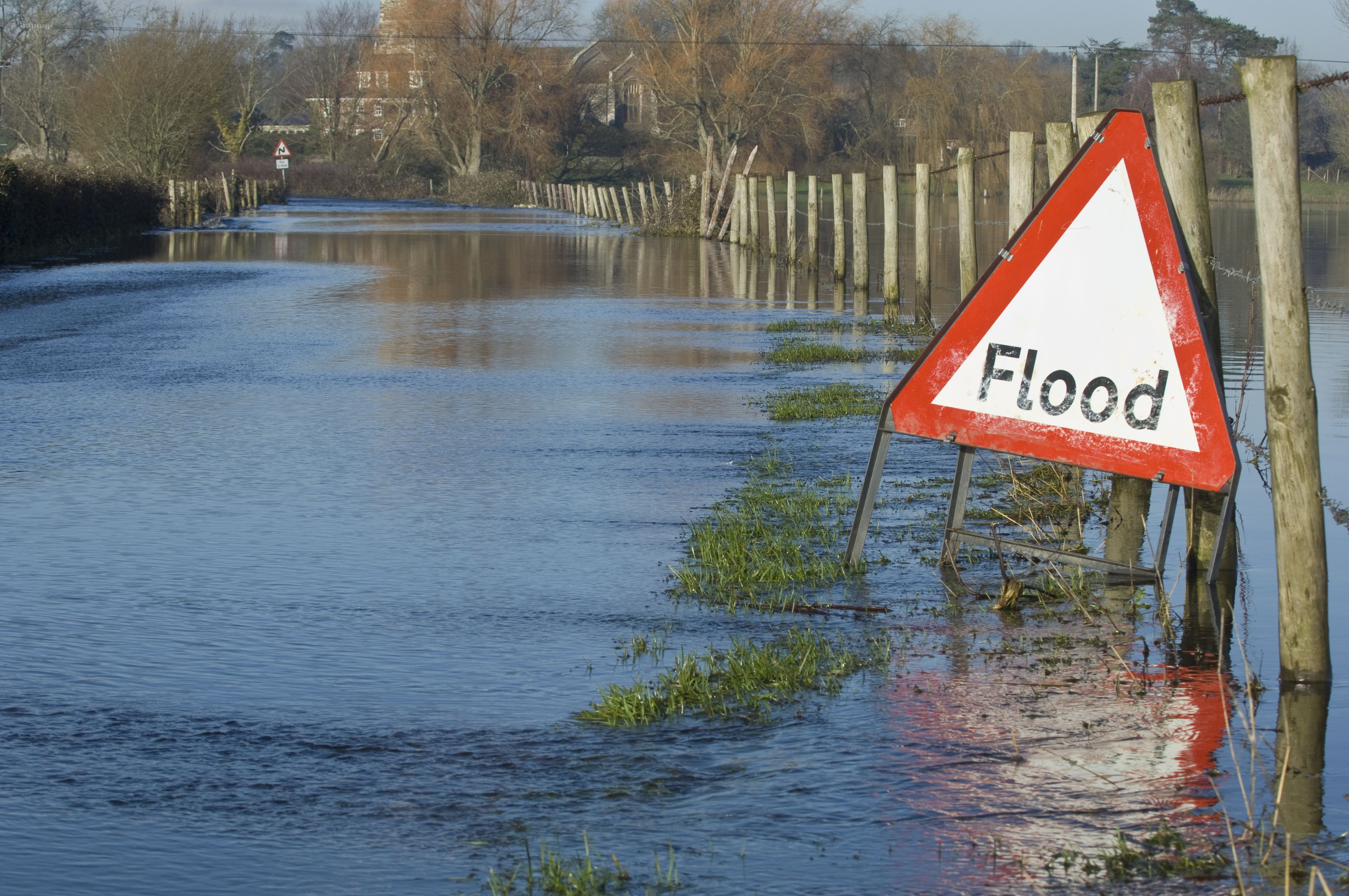
Building flood resilience with wetlands


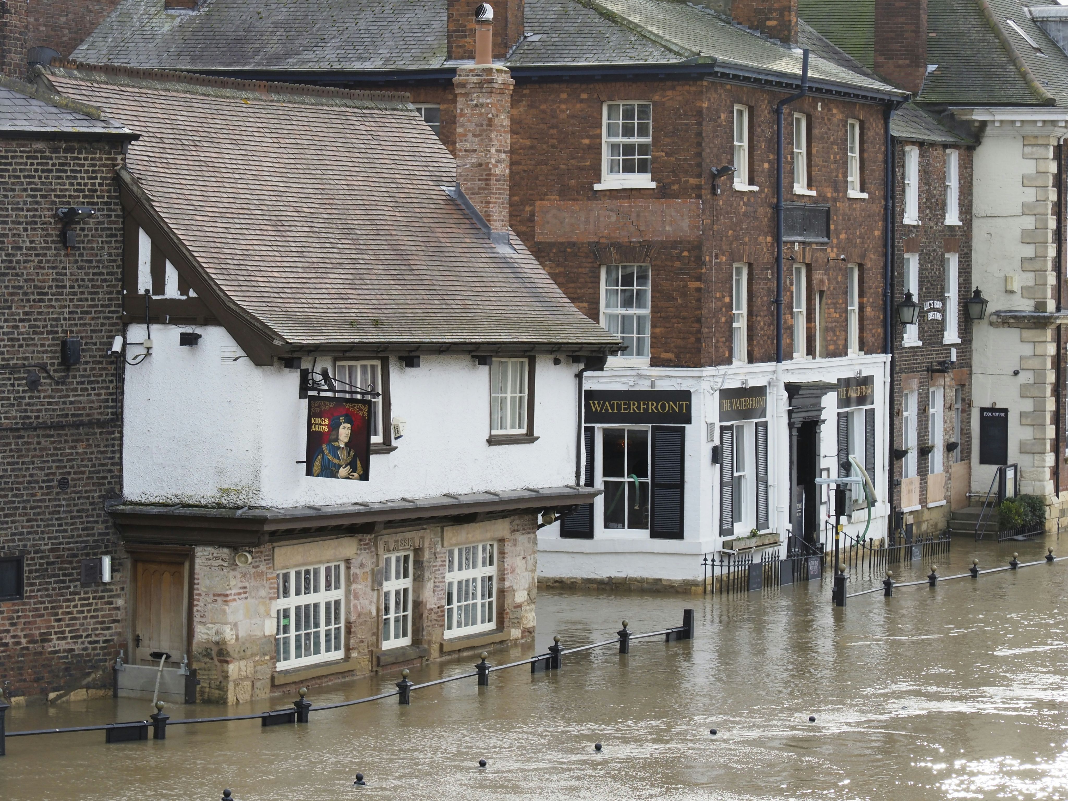
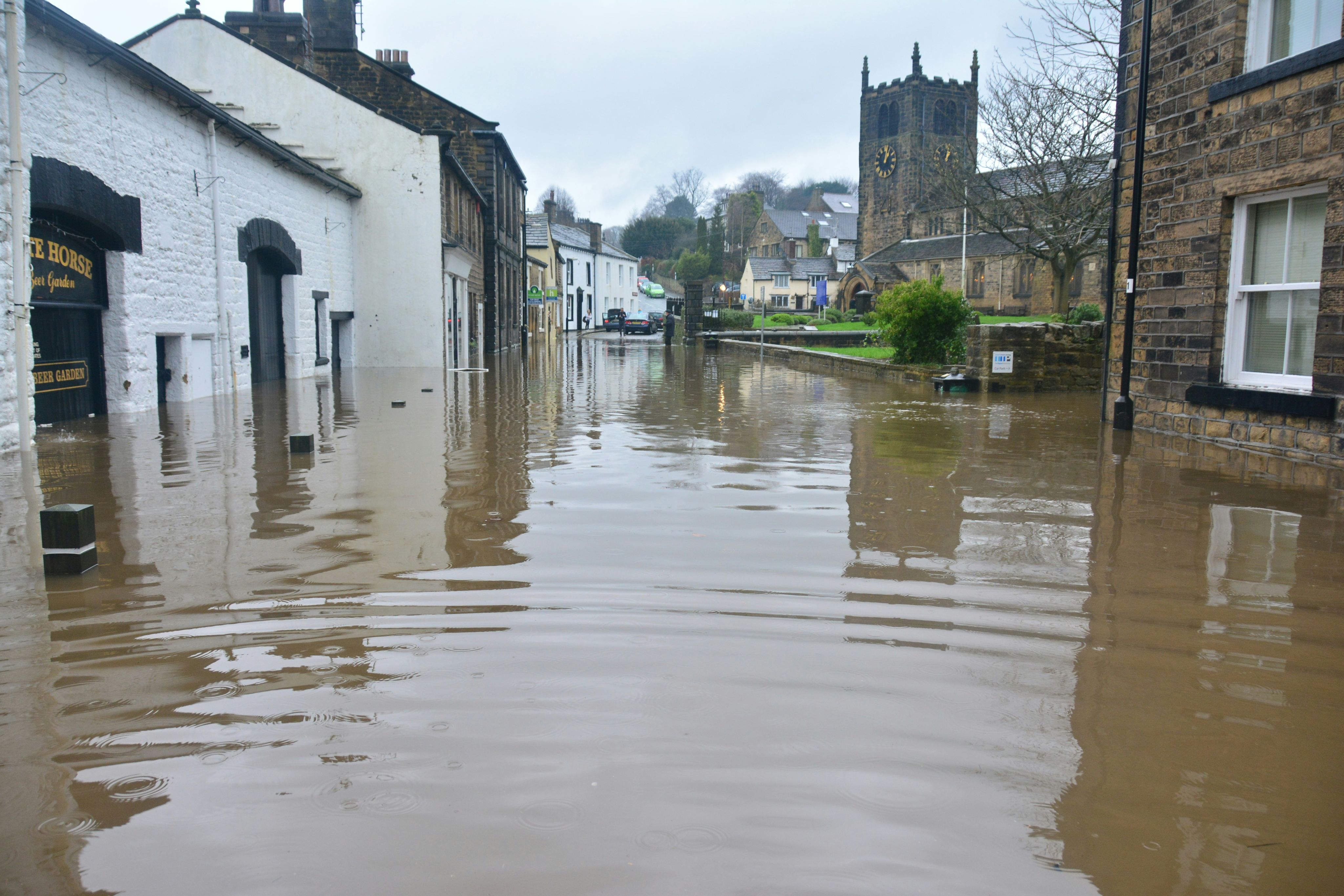
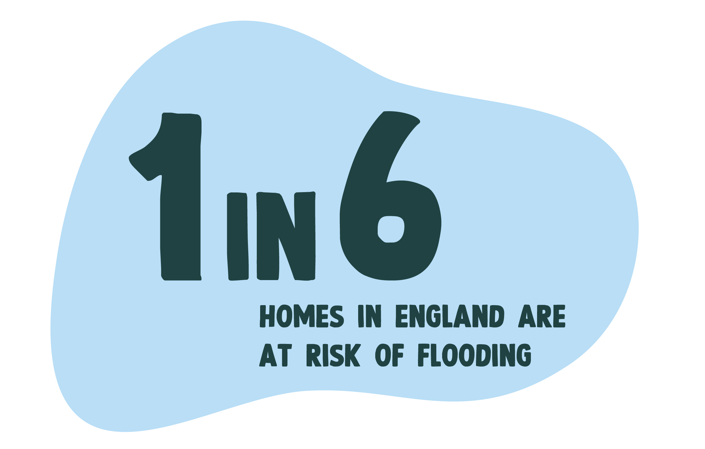
5.7 million properties – or one in six – in England are at risk of flooding. By the 2050s, the annual economic losses from coastal and river flooding in England and Wales could amount to between £1.6 and £6.8 billion.
Before the end of this decade, 35,000 hectares of high-quality horticultural and arable land are likely to be flooded at least once every three years, according to the Energy and Climate Intelligence Unit.
By 2080, this could reach 130,000 hectares – an area larger than Greater Manchester. Flooding also poses a risk to vital infrastructure from roads, water supplies and sewage treatment works to hospitals, schools, and energy supplies.
A major reason the UK is experiencing frequent and intense flooding is, of course, climate change. But that’s not the whole story.


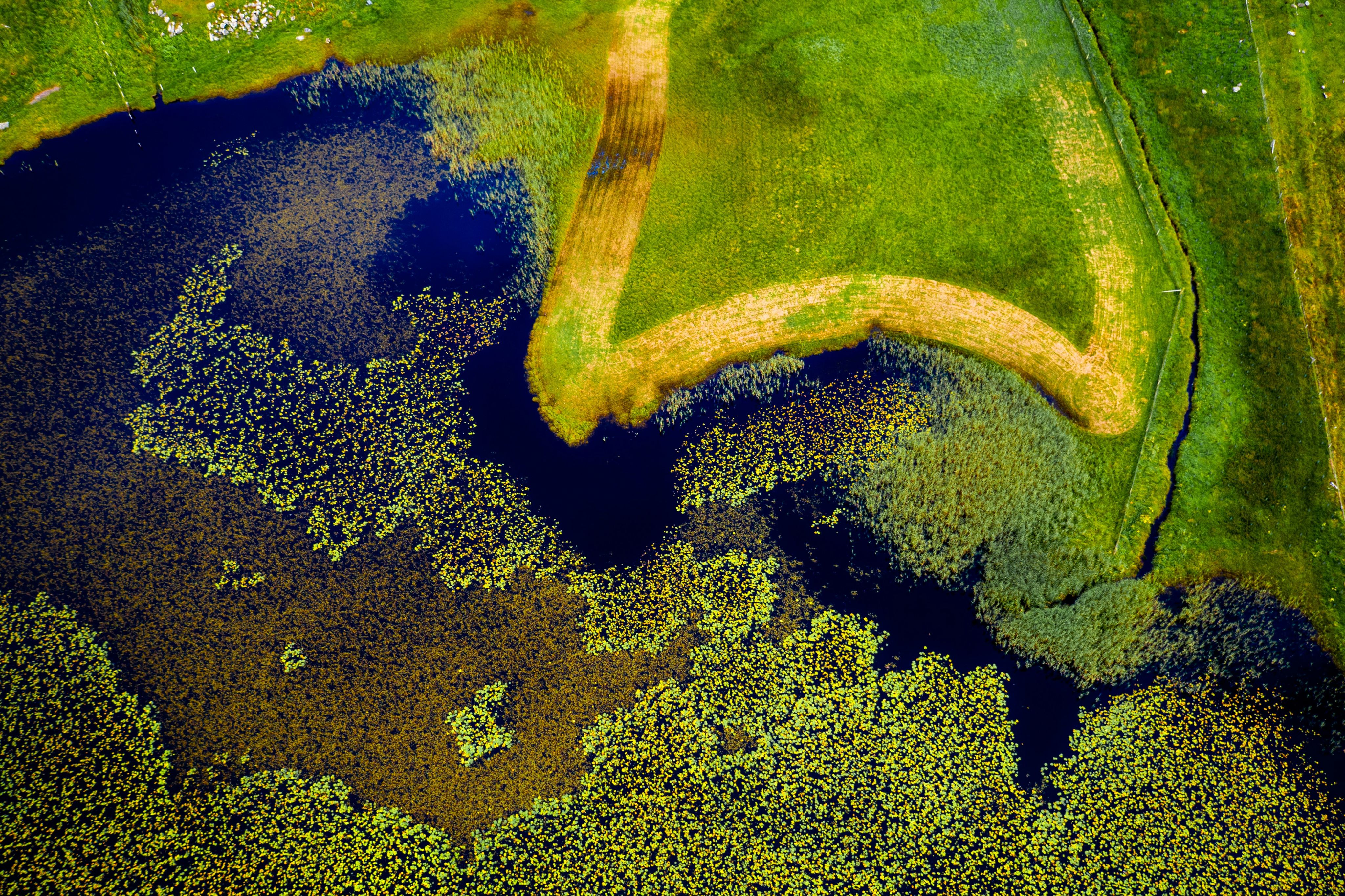
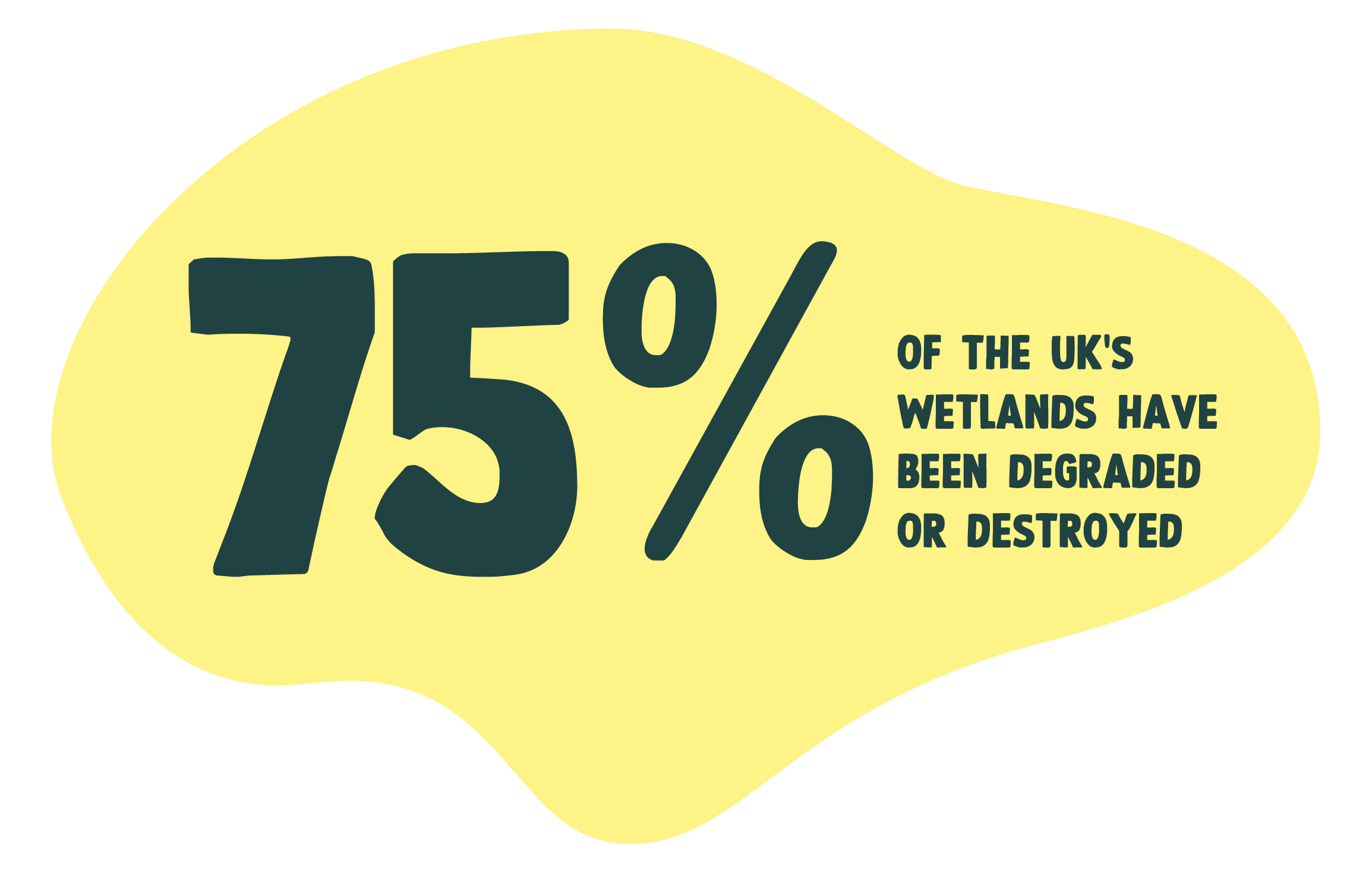
Declining wetland health and rising floods
Wetlands play an important part in regulating floods. However, in the last 300 years, over 75% of the UK’s inland wetlands have been destroyed.
The main reason for this dramatic loss is a rapid growth in both industrial agriculture and urbanisation.
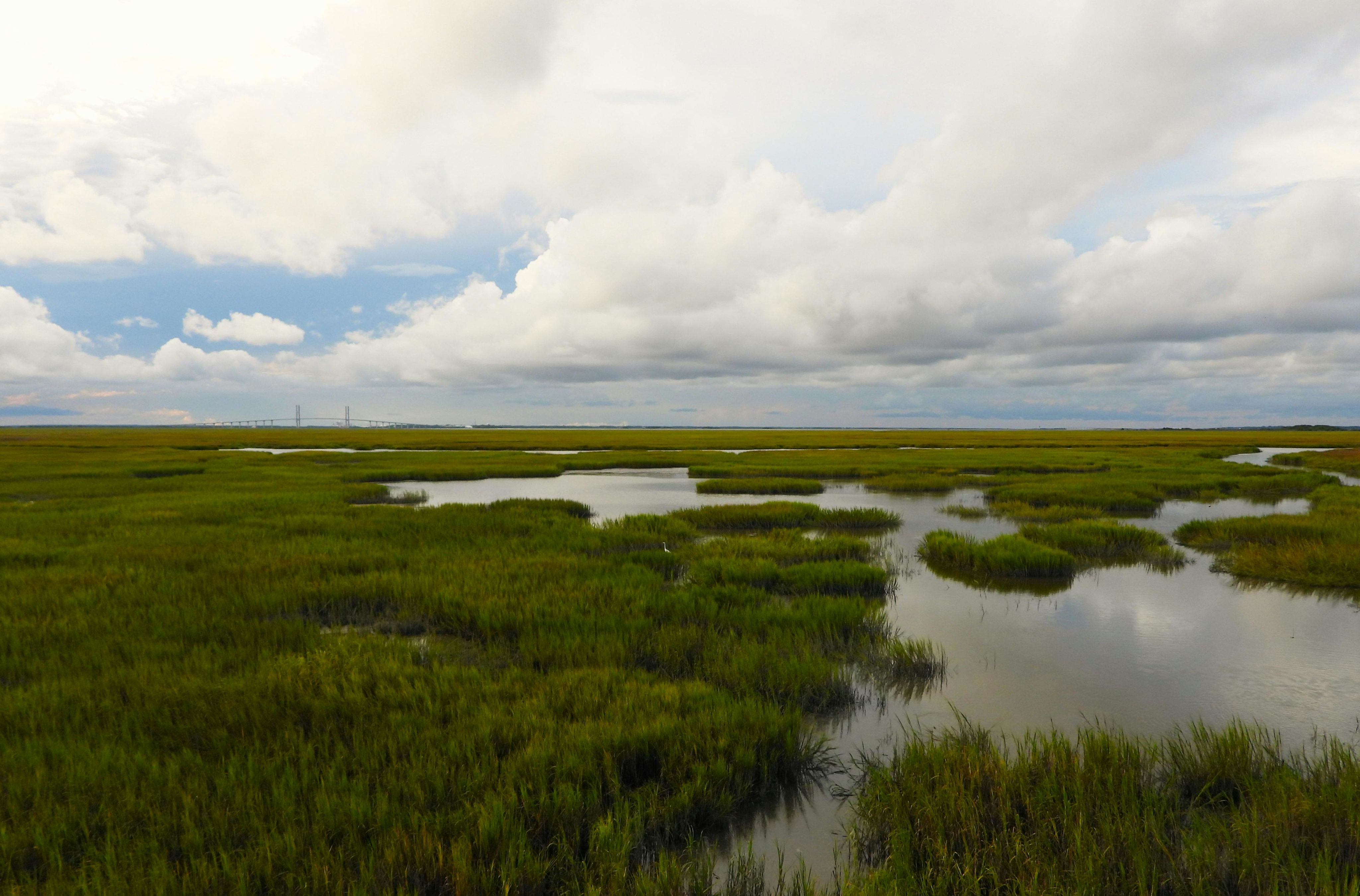
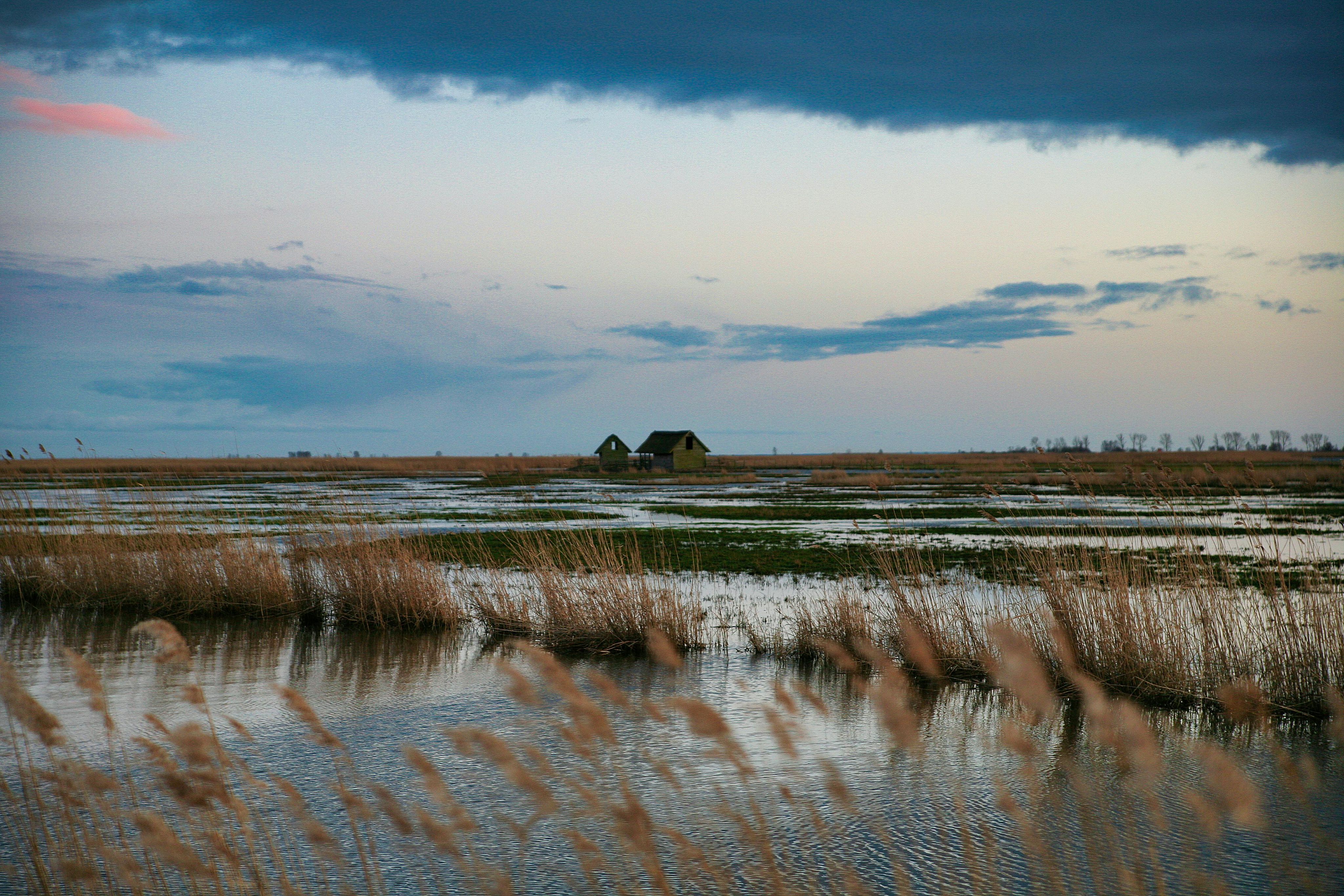
Against a backdrop of increasing storms and higher rainfall, wetlands have a crucial role to play in improving our flood resilience.

The UK Government already recognises the importance of natural flood management techniques, but scaling their use can play a valuable role in reducing the impact of floods.
Wetlands achieve this by:
- Acting like a sponge to store flood water upstream of where it can damage human infrastructure
- Increasing the infiltration of flood water into soil and aquifers and so reducing the proportion that flows over land
- Slowing the flow of water through catchments, so that flood peaks are slower and lower
- In coastal situations, absorbing wave energy before it reaches our coastal defences
A valuable nature-based solution, wetlands provide additional environmental and social benefits as well as protecting us from floods. They boost biodiversity, improve water quality, enhance local wellbeing and mental health, and capture and store carbon.
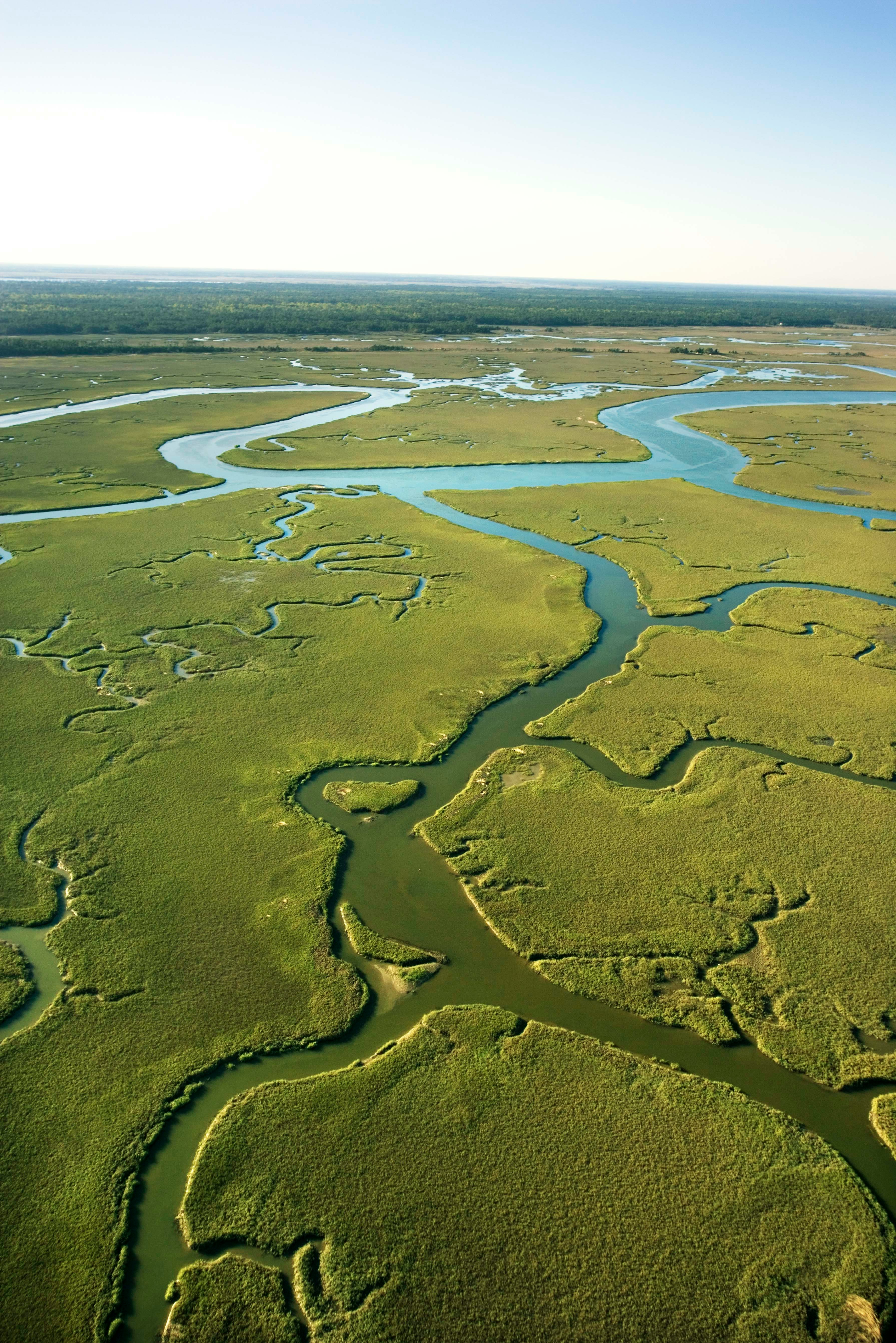
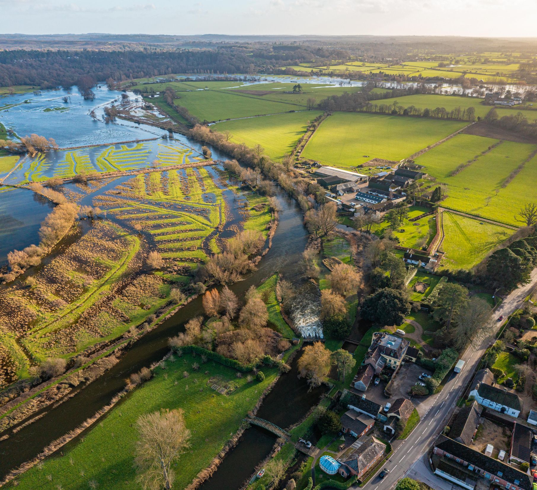
Building flood resilience at catchment level
Natural flood management works best when a catchment-based approach is taken, in which wetlands are used to regulate flooding along the whole area of a river catchment from source to sea. Together, a mosaic of interventions can reduce flooding further downstream. Natural wetlands can reduce the strain on traditional engineered flood defences such as walls and weirs, increasing their longevity and reducing their design specifications.
To support delivery and policy decisions on flood mitigation, we’ve identified priority catchments where wetlands could be used to reduce downstream flooding. On top of this, we’ve quantified the return on investment for flood risk management benefits and co-benefits such as carbon storage and social welfare.


Mapping the potential for flood resilience wetlands
We’ve developed our maps using the Social Flood Risk Index, which looks at where social vulnerability and flood risk coincide. By targeting areas where wetlands will have the most benefit, we can make better decisions and use resources in the wisest way possible, while supporting those most likely to be impacted by the effects of climate change in the UK.
We mapped flood resilience potential by focusing on catchments:
- Draining into or overlapping areas of high social flood vulnerability
- Where properties and people may be impacted in flood risk areas
- Where there is sufficient area for a catchment-based approach to natural flood management
Within these 'demand' catchments, we mapped potential locations where wetlands could be created to manage floods naturally. We used mapping technology to combine elevation and flood risk data, while excluding areas where there are obstacles to wetland creation, to find the most suitable areas for wetlands to be created by a range of natural flood management techniques. Across 1,867 catchments that would most benefit from flood resilience wetlands, our mapping identified 587,600 hectares of flood resilience wetland potential.
Indicative ‘wetlands for flood resilience’ potential
© WWT copyright and/or database right 2024. All rights reserved. Contains, or is derived from, information supplied by governmental and non-governmental organisations listed at https://www.wwt.org.uk/data-sources.

Key areas
Our maps have identified some key areas of potential for flood resilience wetlands across Great Britain - see list below. But take a look at the map to explore other areas.
England
- Lincolnshire
- The Cambridgeshire fens
- South Yorkshire (Doncaster area)
- The River Trent (Lincoln and Nottingham area)
- Thames Basin (Oxfordshire, Berkshire and Surrey area)
- West Midlands (esp. catchments of the River Severn in Shropshire)
Scotland
- Dunbartonshire
- North Lanarkshire
- Ayrshire
- The Lothians
- Stirling
- Falkirk
- Clackmannan
- Fife
Wales
- South Wales
- Clwyd
- North Powys


Working with nature to manage flood risk
The analysis focussed on six natural flood management techniques which can be used to manage flood water while creating wetland habitats. Earth bunds (raised banks of soil) for example, slow down the flow of water and let it gather in specific areas, while reconnecting rivers to their floodplains helps restore natural flood cycles and creates new meadows and wet woodlands that hold floodwaters. Along the coast, managed realignment can help to prevent coastal flooding and erosion, while creating intertidal wetland habitats.
Run-off interception bunds
Bunds, usually formed of earth banks, can be used to intercept the overland flow of water and hold water back, allowing it to infiltrate the soil, replenishing groundwater reserves.
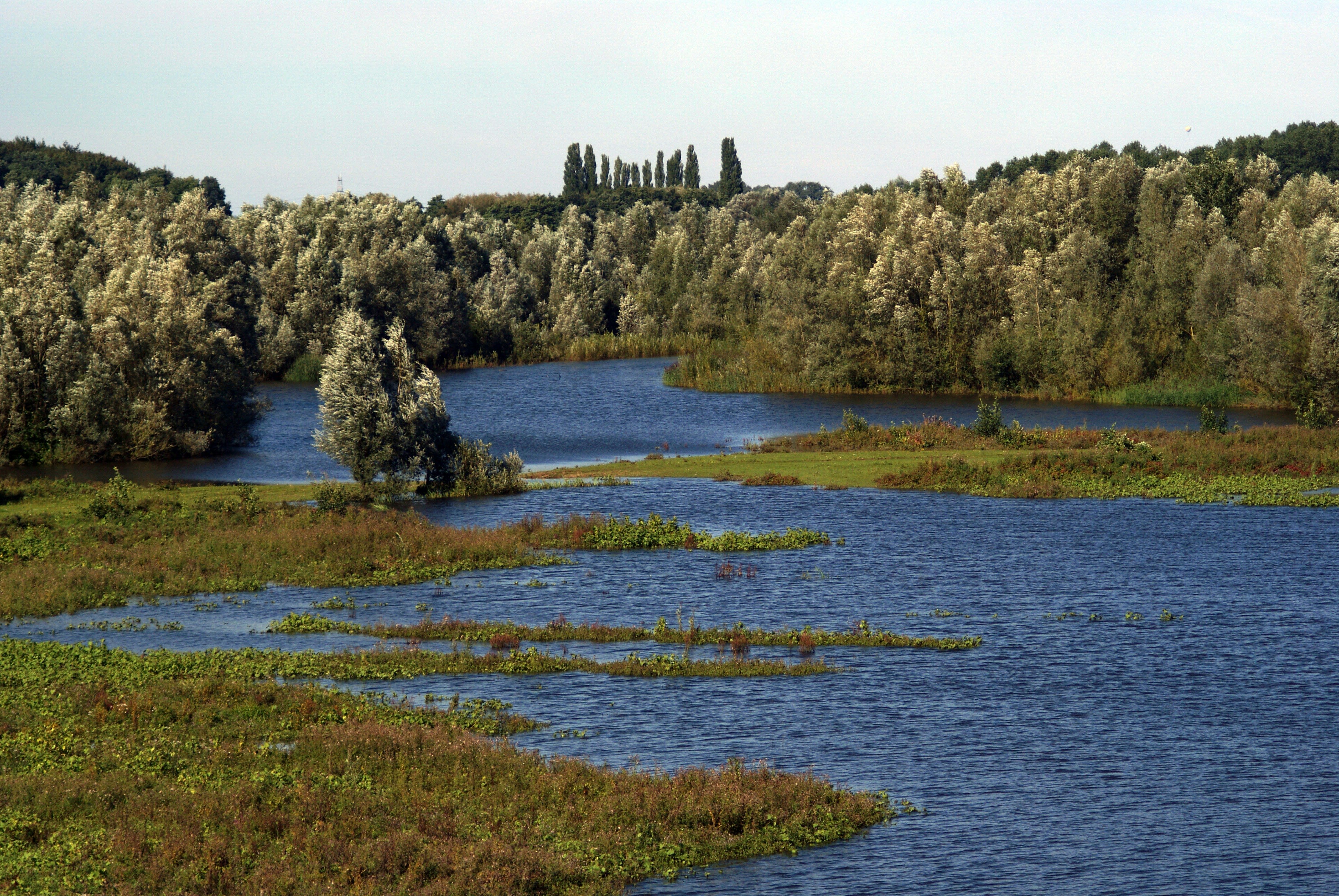
Floodplain reconnection
Involves reconnecting a river to its floodplain by removal of artificial flood-banks, allowing temporary flood water storage that is slowly released back into the watercourse.
Leaky dams and gully blocking
Barriers made of natural woody materials are placed across water channels. They obstruct high river flows, slowing the flow and allowing infiltration into the soil.
Storage areas
Constructed depressions located close to watercourses can store water outside the river network by intercepting surface run-off and increasing storage capacity of the floodplain.
Floodplain wet woodland
Tree-planting on existing floodplains can slow down water, hold back flows within the floodplain, as well as increasing sediment deposition and infiltration to the soil.
Managed realignment
The planned breach or relocation of sea defences to allow previously defended land to flood. This can help dissipate wave energy and protect against coastal erosion.
Within the Data Explorer app, our wetland potential layer can be overlaid with other natural flood management mapping, including the Environment Agency’s Working with Natural Processes.


Economic benefits of flood-busting wetlands
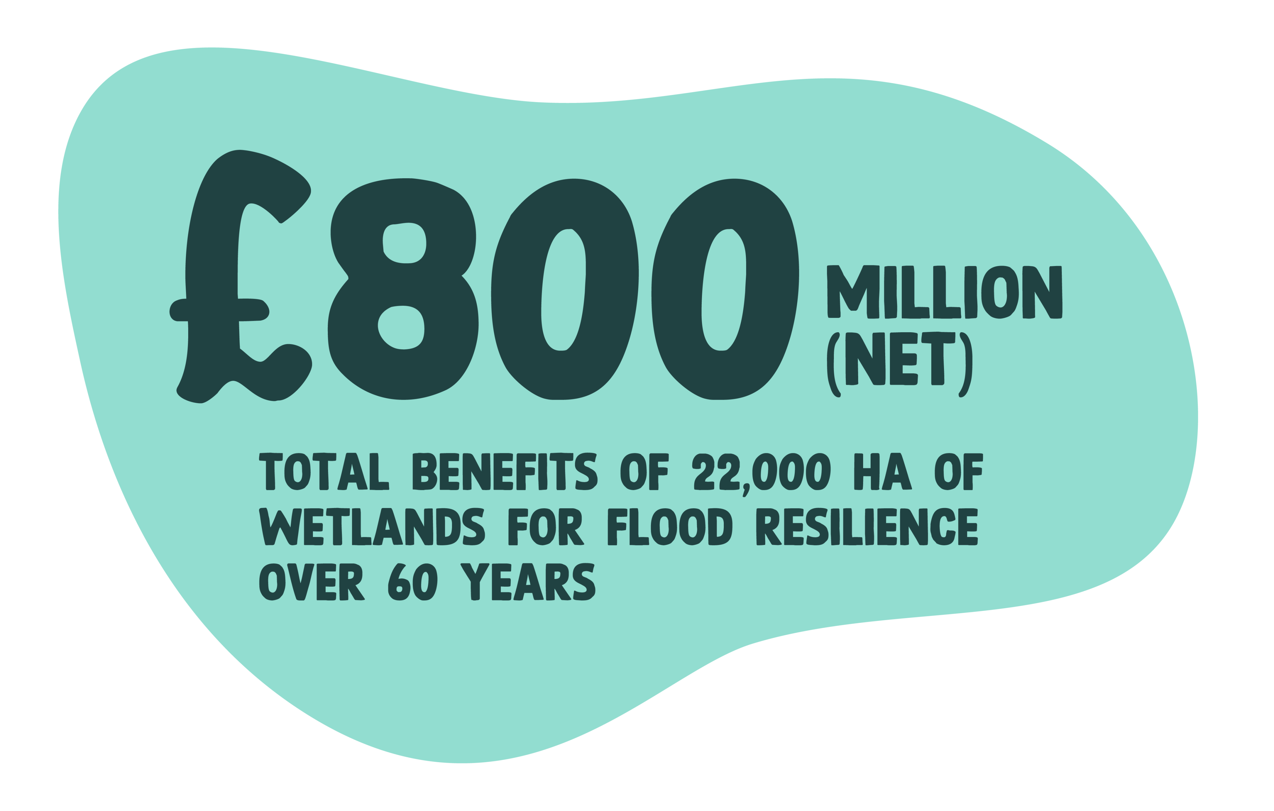
The economic analysis by eftec shows the major benefits of creating wetlands to reduce flooding in non-tidal areas. Besides reducing flood risk, these wetlands can improve air quality, provide places for recreation, and enhance community’s mental and physical health, reducing the economic burden on healthcare trusts, the NHS, and local councils.
Creating 25,000 hectares of wetlands for flood resilience in Great Britain would generate net benefit of £800 million over 60 years, after accounting for creation and management costs.
